
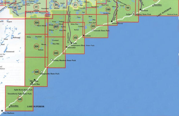
The maps of the North Shore/Superior National Forest offer multiple use wilderness opportunities. They show hiking, biking, ski and some snowmobile trails and many other outdoor facilities. There are many beautiful State Parks which offer varied facilities from hike-in to drive-in camping, as well as wayside conveniences. Also shown on these maps are the North Shore State Trail and the Superior Hiking Trail.
The Superior Hiking Trail lies along the North Shore highlands, a unique, rugged landscape adjacent to the North Shore of Lake Superior. It runs from near Two Harbors to North of Hovland near the Canadian Border, and offers wilderness to near wilderness conditions. You can make short day trips or extended overnight backpacking trips. There are some campsites and shelters, and no motorized use is allowed.
View/Download high-resolution map index
mouse over to zoom